See the pre-war street layout in AR
- Make sure you have allowed your browser to access the camera.
- Point your phone toward the square to see the pre-war street layout.
- After a while, a 3D reconstruction will appear on the screen - move around to see it from different sides.
After World War II, all the rubble from the city's ruins was not cleaned up. Instead, new buildings were erected on a layer of destruction that in many places reaches up to 2 meters. That's why today we walk the streets much higher than before the war, and the former buildings are literally buried beneath us.
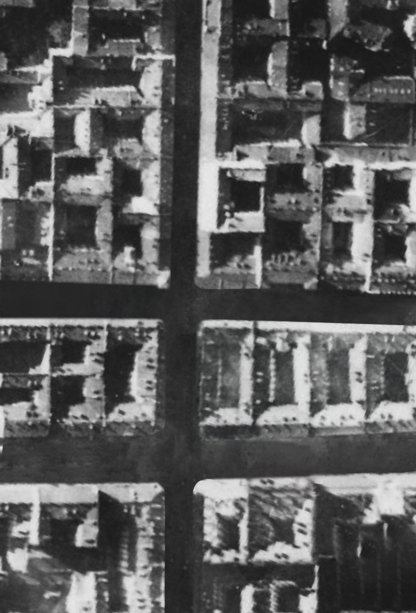
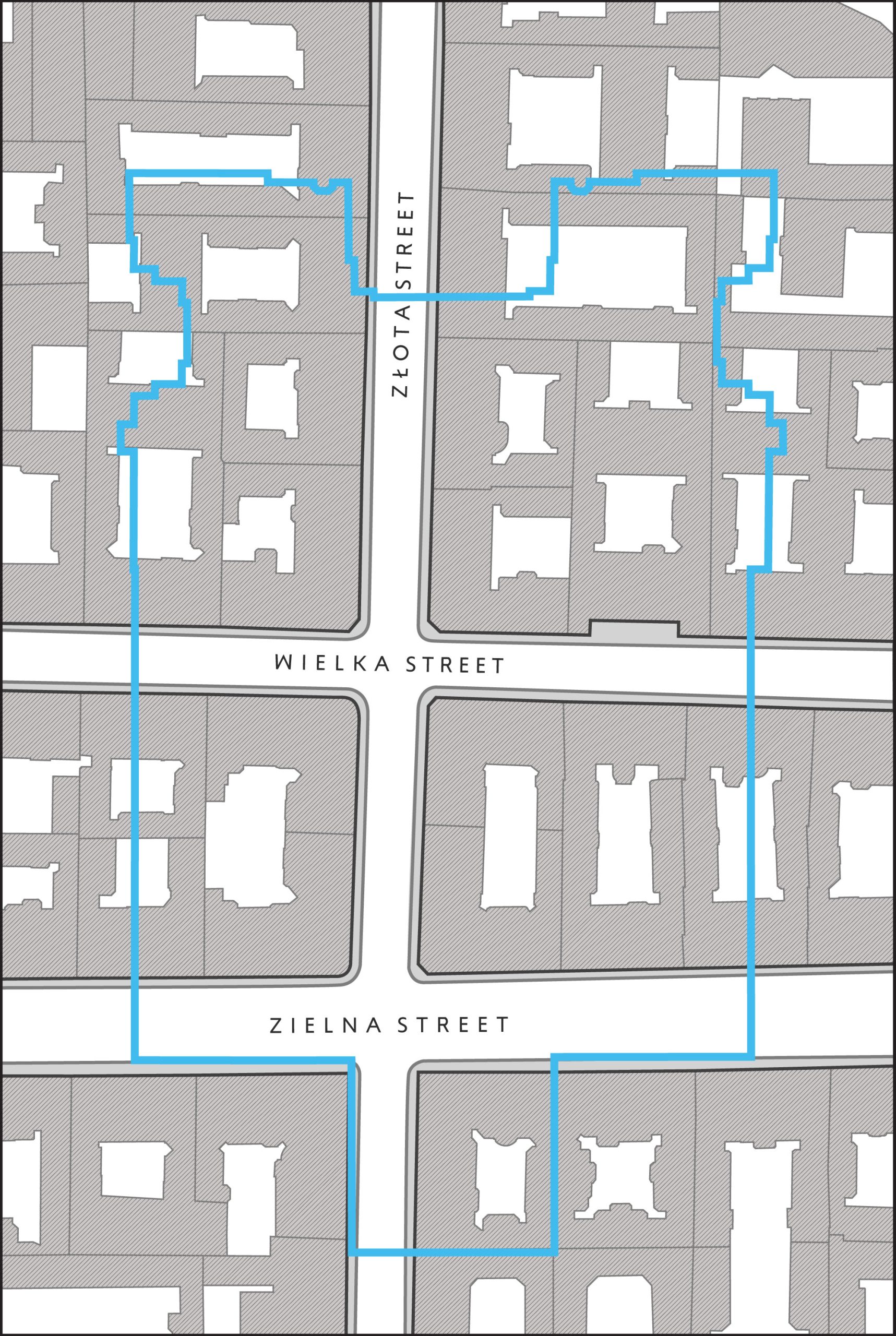
Before the war, the area of today's square was part of a vibrant residential district in the center of Warsaw, with dense downtown buildings with tall, minimum four-story tenement houses. Individual quarters of the buildings were delineated by a grid of streets. Within the boundaries of today's square were 22 tenement houses, which were parts of 6 development quarters, separated by Zlota, Wielka and Zielna Streets. The structure of the quarter buildings survived in an unchanged form the German air raids in September 1939.